✨ New Arrivals Just Dropped!Explore
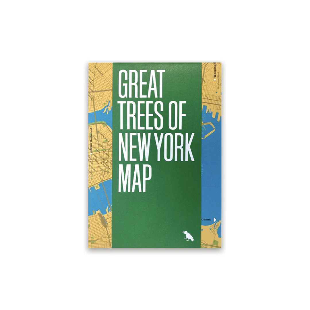
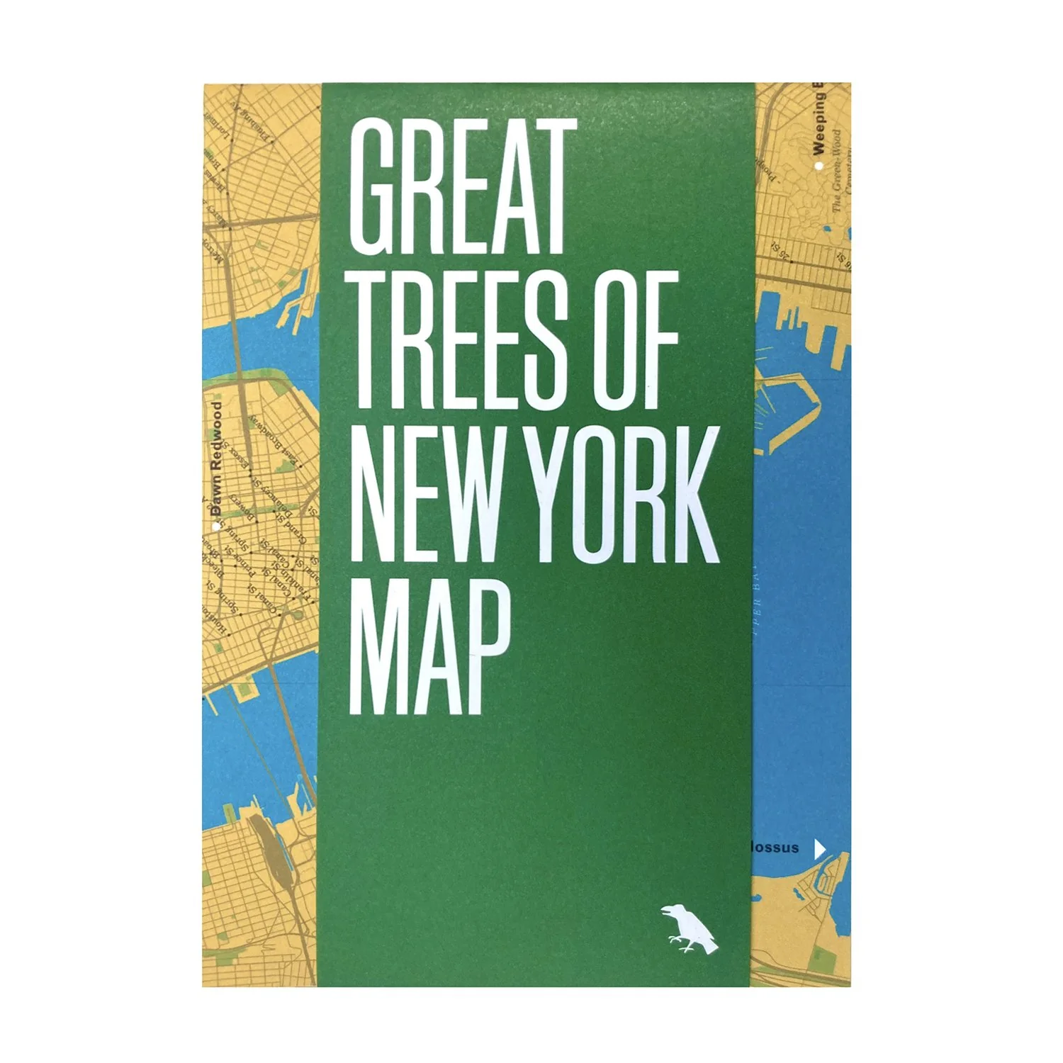
Great Trees of New York Map
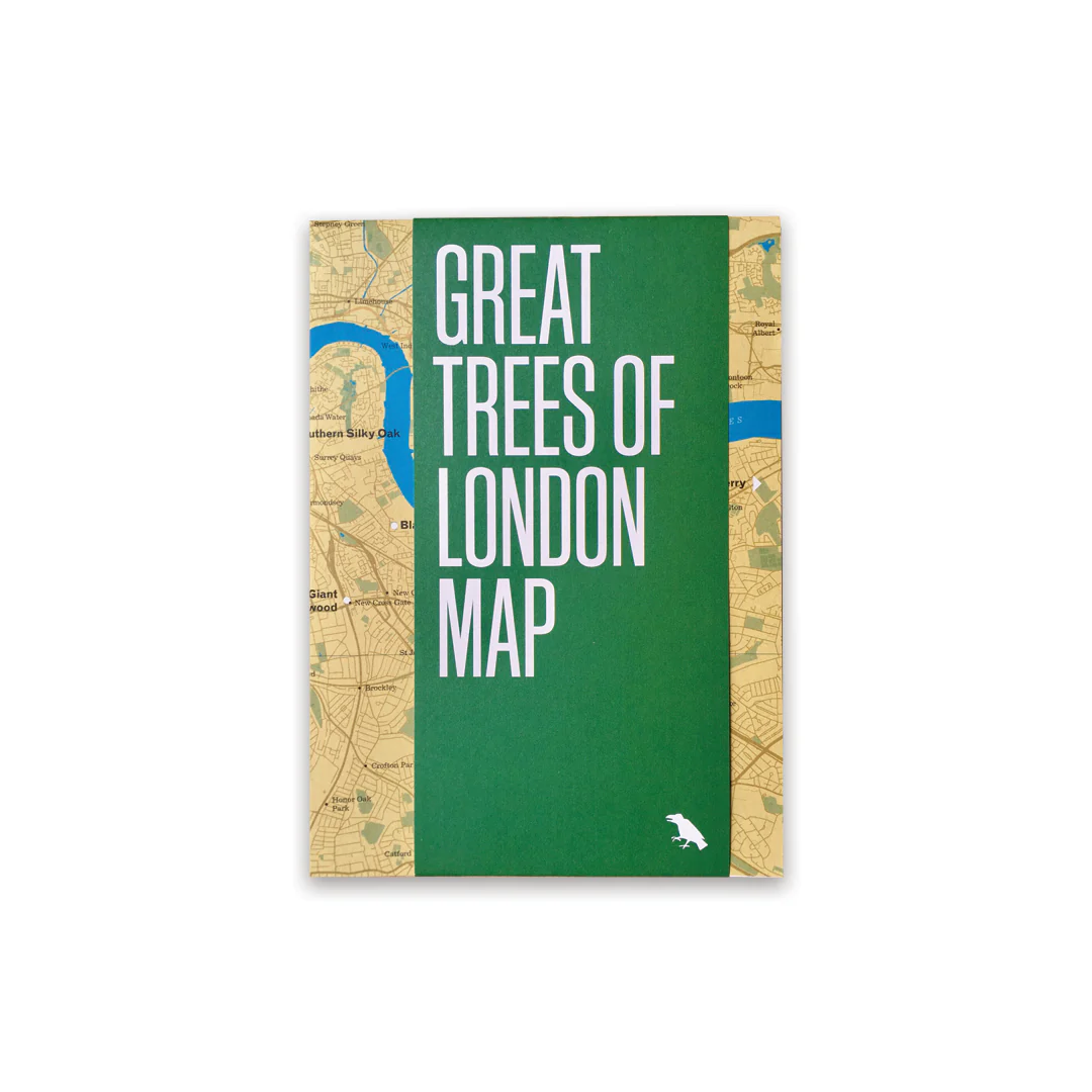
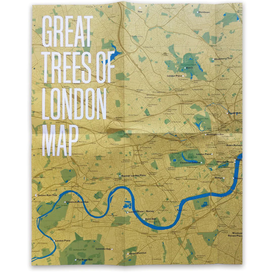
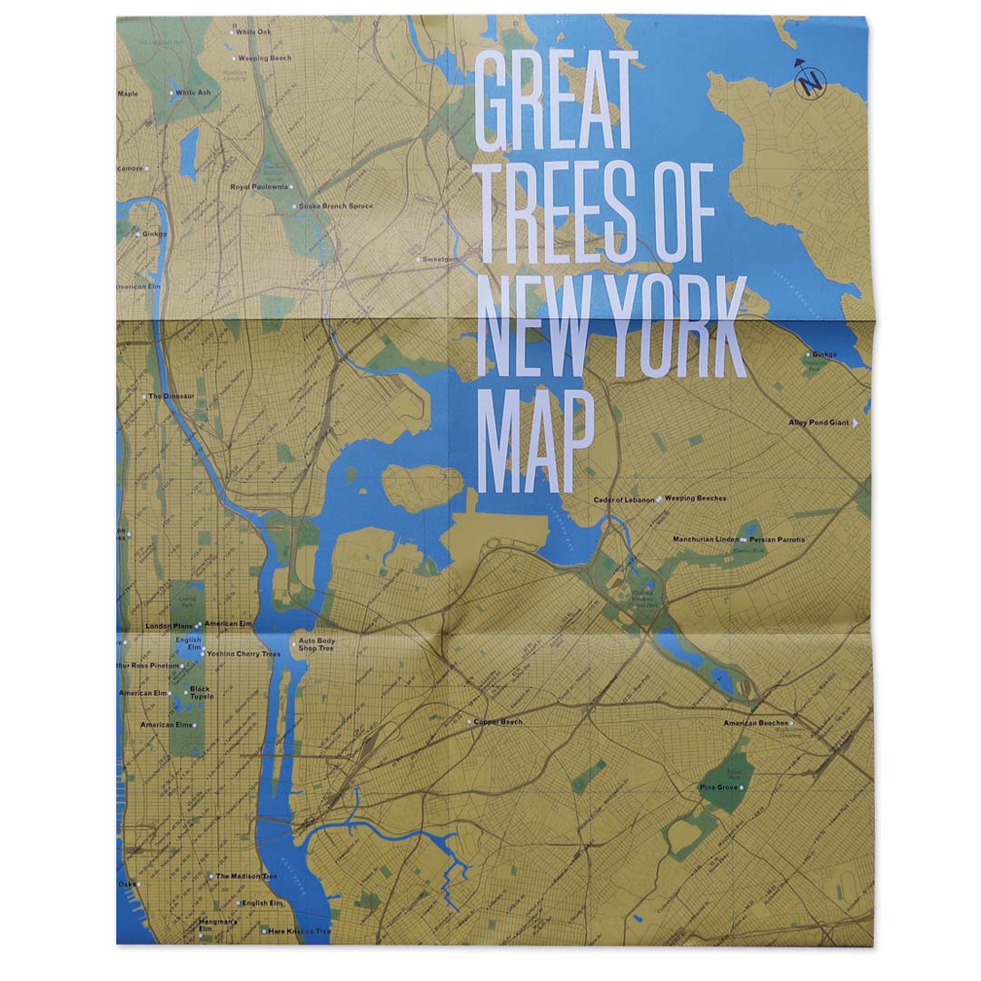
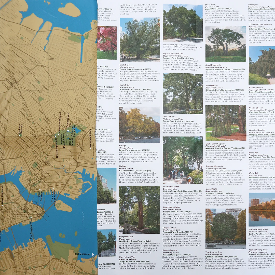
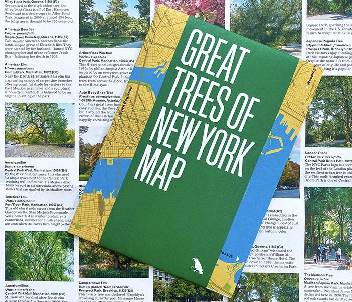
The Great Trees of New York Map is a guide to 50 of the oldest, rarest, strangest, and most historic trees across New York City’s five boroughs, from the 350-year-old “Alley Pond Giant” in Queens to the wizened Camperdown elm in Prospect Park. This two-sided companion includes a map, an introduction and descriptions by Allison C. Meier, and original photography by Colin Montgomery.
Published in March 2021 by Blue Crow Media. Printed on recycled FSC-certified paper by a carbon-neutral, family-owned printer. The map opens to A2 (420 x 594mm, 16.53 x 23.39 inches), folds to A5 (148 × 210mm or 5.83 × 8.27 inches), and is protected by a band.
Published in March 2021 by Blue Crow Media. Printed on recycled FSC-certified paper by a carbon-neutral, family-owned printer. The map opens to A2 (420 x 594mm, 16.53 x 23.39 inches), folds to A5 (148 × 210mm or 5.83 × 8.27 inches), and is protected by a band.
$2.40
Original: $8.00
-70%Great Trees of New York Map—
$8.00
$2.40More Images
Great Trees of New York Map
The Great Trees of New York Map is a guide to 50 of the oldest, rarest, strangest, and most historic trees across New York City’s five boroughs, from the 350-year-old “Alley Pond Giant” in Queens to the wizened Camperdown elm in Prospect Park. This two-sided companion includes a map, an introduction and descriptions by Allison C. Meier, and original photography by Colin Montgomery.
Published in March 2021 by Blue Crow Media. Printed on recycled FSC-certified paper by a carbon-neutral, family-owned printer. The map opens to A2 (420 x 594mm, 16.53 x 23.39 inches), folds to A5 (148 × 210mm or 5.83 × 8.27 inches), and is protected by a band.
Published in March 2021 by Blue Crow Media. Printed on recycled FSC-certified paper by a carbon-neutral, family-owned printer. The map opens to A2 (420 x 594mm, 16.53 x 23.39 inches), folds to A5 (148 × 210mm or 5.83 × 8.27 inches), and is protected by a band.
Product Information
Product Information
Shipping & Returns
Shipping & Returns
Description
The Great Trees of New York Map is a guide to 50 of the oldest, rarest, strangest, and most historic trees across New York City’s five boroughs, from the 350-year-old “Alley Pond Giant” in Queens to the wizened Camperdown elm in Prospect Park. This two-sided companion includes a map, an introduction and descriptions by Allison C. Meier, and original photography by Colin Montgomery.
Published in March 2021 by Blue Crow Media. Printed on recycled FSC-certified paper by a carbon-neutral, family-owned printer. The map opens to A2 (420 x 594mm, 16.53 x 23.39 inches), folds to A5 (148 × 210mm or 5.83 × 8.27 inches), and is protected by a band.
Published in March 2021 by Blue Crow Media. Printed on recycled FSC-certified paper by a carbon-neutral, family-owned printer. The map opens to A2 (420 x 594mm, 16.53 x 23.39 inches), folds to A5 (148 × 210mm or 5.83 × 8.27 inches), and is protected by a band.